


Image, Shutterstock/ Radio 731 logo courtesy of Forever Communications
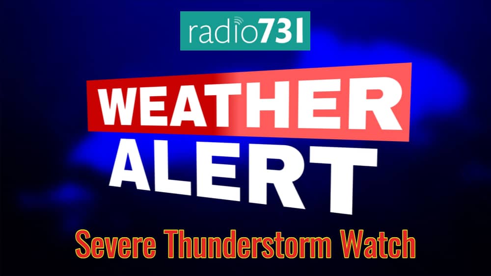
The National Weather Service has issued severe thunderstorm watch in effect until 6 p.m. Thursday evening for the following areas:
In West Tennessee, the following counties:
CARROLL CROCKETT DYER
GIBSON HAYWOOD HENRY
LAKE LAUDERDALE MADISON
OBION TIPTON WEAKLEY
This includes the cities of Alamo, Blytheville, Brownsville, Caruthersville, Corning, Covington, Dresden, Dyersburg, Harrisburg, Humboldt, Huntingdon, Jackson, Jonesboro, Kennett, Martin, Milan, Paragould, Paris, Piggott, Ripley, Tiptonville, and Union City.
According to NWS, the storms should begin to move into the area relatively soon from the north. Storms should push southeast towards the Tennessee River and eventually be out of the area by 8 p.m. Main threat at this time appears to be hail and damaging winds will be likely.